Osgathorpe
Area Guide
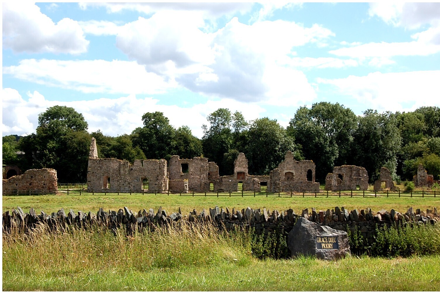
Osgathorpe is a small village which lies in a fold of the hills in North West Leicestershire and is about a quarter of a mile from the A512 (Coalville to Loughborough) Road. Remains of a stretch of the long-abandoned Charnwood Forest Canal can be seen alongside a footpath to the south of the village, running from Thringstone to an area known locally as 'The Snarrows' The Storey Arms is the village pub and is hoping to undergo change with an injection of funding to refurbish as a ‘community pub’, functioning as a centre for additional village based initiatives and services, including a shop, parcel drop and meeting room. Nearest Airport: East Midlands (5.8 miles). Nearest Train Station: Loughborough: (8.7 miles). Nearest Town/City: Coalville (4.1 miles). Nearest Motorway: M1 (J23)
Osgathorpe is a small village which lies in a fold of the hills in North West Leicestershire and is about a quarter of a mile from the A512 (Coalville to Loughborough) Road. Remains of a stretch of the long-abandoned Charnwood Forest Canal can be seen alongside a footpath to the south of the village, running from Thringstone to an area known locally as 'The Snarrows' The Storey Arms is the village pub and is hoping to undergo change with an injection of funding to refurbish as a ‘community pub’, functioning as a centre for additional village based initiatives and services, including a shop, parcel drop and meeting room. Nearest Airport: East Midlands (5.8 miles). Nearest Train Station: Loughborough: (8.7 miles). Nearest Town/City: Coalville (4.1 miles). Nearest Motorway: M1 (J23)
Visit the local office

Looking to sell or let your property?
We’re here to make the process easier and get you the best possible outcome